Miners Welfare Hall, Cinderford
Introduction
The photograph on this page of Miners Welfare Hall, Cinderford by Jaggery as part of the Geograph project.
The Geograph project started in 2005 with the aim of publishing, organising and preserving representative images for every square kilometre of Great Britain, Ireland and the Isle of Man.

There are currently over 7.5m images from over 14,400 individuals and you can help contribute to the project by visiting https://www.geograph.org.uk
Miners Welfare Hall, Cinderford
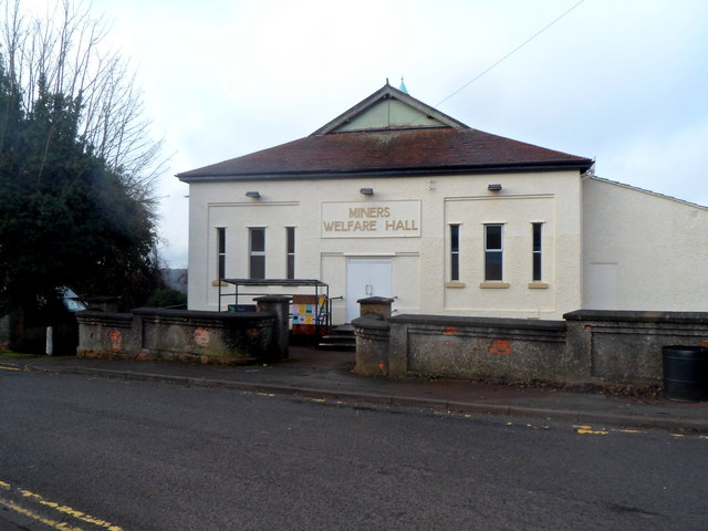
Image: © Jaggery Taken: 16 Dec 2012
Viewed across Wesley Road. The back of the hall faces Parragate Road. Now used as a community hall and dance hall.
Images are licensed for reuse under creativecommons.org/licenses/by-sa/2.0
Image Location
Latitude
51.825169
Longitude
-2.501408