Road junction for Mardon
Introduction
The photograph on this page of Road junction for Mardon by Barbara Carr as part of the Geograph project.
The Geograph project started in 2005 with the aim of publishing, organising and preserving representative images for every square kilometre of Great Britain, Ireland and the Isle of Man.

There are currently over 7.5m images from over 14,400 individuals and you can help contribute to the project by visiting https://www.geograph.org.uk
Road junction for Mardon
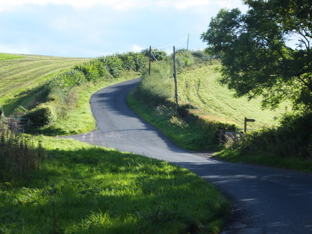
Image: © Barbara Carr Taken: 14 Sep 2013
The road ahead goes to Branxton, the junction to the left goes to Mardon, and the footpath to the right goes to the A697 near Pallinsburn House.
Images are licensed for reuse under creativecommons.org/licenses/by-sa/2.0
Image Location
Latitude
55.636178
Longitude
-2.158183