West Nile Street
Introduction
The photograph on this page of West Nile Street by Thomas Nugent as part of the Geograph project.
The Geograph project started in 2005 with the aim of publishing, organising and preserving representative images for every square kilometre of Great Britain, Ireland and the Isle of Man.

There are currently over 7.5m images from over 14,400 individuals and you can help contribute to the project by visiting https://www.geograph.org.uk
West Nile Street
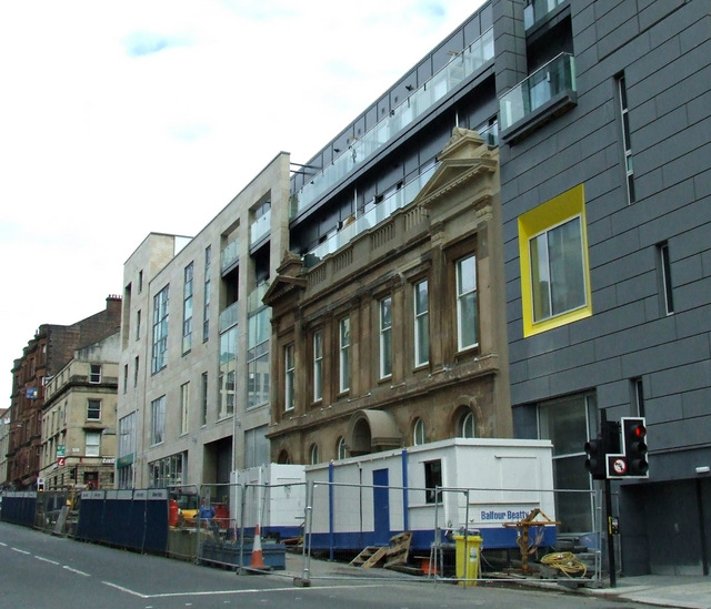
Image: © Thomas Nugent Taken: 9 Sep 2013
The streetscape has changed drastically over the past two years. The façade of the Category B Listed http://data.historic-scotland.gov.uk/pls/htmldb/f?p=2200:15:0::::BUILDING:33254 former Victoria Baths building has been retained somewhat incongruously within the new development. See the same scene during construction Image
Images are licensed for reuse under creativecommons.org/licenses/by-sa/2.0
Image Location
Latitude
55.863074
Longitude
-4.254544