Wheat field near Thimbleby Grange
Introduction
The photograph on this page of Wheat field near Thimbleby Grange by Bill Boaden as part of the Geograph project.
The Geograph project started in 2005 with the aim of publishing, organising and preserving representative images for every square kilometre of Great Britain, Ireland and the Isle of Man.

There are currently over 7.5m images from over 14,400 individuals and you can help contribute to the project by visiting https://www.geograph.org.uk
Wheat field near Thimbleby Grange
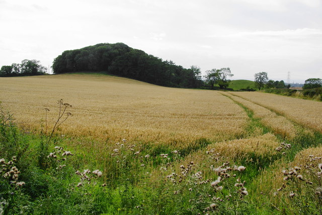
Image: © Bill Boaden Taken: 31 Aug 2013
There are several small rounded hills locally. The one ahead looks like a perfect circle on the map.
Images are licensed for reuse under creativecommons.org/licenses/by-sa/2.0
Image Location


Leaflet Map data © OpenStreetMap
Latitude
54.349406
Longitude
-1.315052