Top End of the Lake Now
Introduction
The photograph on this page of Top End of the Lake Now by Des Blenkinsopp as part of the Geograph project.
The Geograph project started in 2005 with the aim of publishing, organising and preserving representative images for every square kilometre of Great Britain, Ireland and the Isle of Man.

There are currently over 7.5m images from over 14,400 individuals and you can help contribute to the project by visiting https://www.geograph.org.uk
Top End of the Lake Now
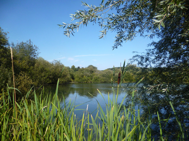
Image: © Des Blenkinsopp Taken: 4 Sep 2013
At one time Shardeloes Park lake would have continued off to the left, but encroaching willow scrub has grown over part of what used to be open water.
Images are licensed for reuse under creativecommons.org/licenses/by-sa/2.0
Image Location
Latitude
51.673718
Longitude
-0.641293