Mansfield, Notts.
Introduction
The photograph on this page of Mansfield, Notts. by David Hallam-Jones as part of the Geograph project.
The Geograph project started in 2005 with the aim of publishing, organising and preserving representative images for every square kilometre of Great Britain, Ireland and the Isle of Man.

There are currently over 7.5m images from over 14,400 individuals and you can help contribute to the project by visiting https://www.geograph.org.uk
Mansfield, Notts.
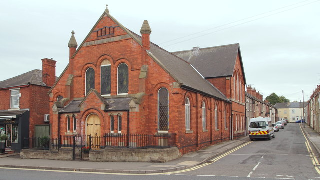
Image: © David Hallam-Jones Taken: 13 Sep 2013
Looking eastwards along Gedling Street. Bethel Methodist Church (formerly of the Primitive Methodist persuasion), dating from 1896, is seen here from the opposite side of the Nottingham-Mansfield Road (the A60).
Images are licensed for reuse under creativecommons.org/licenses/by-sa/2.0
Image Location
Latitude
53.134629
Longitude
-1.197004