Mansfield, Notts.
Introduction
The photograph on this page of Mansfield, Notts. by David Hallam-Jones as part of the Geograph project.
The Geograph project started in 2005 with the aim of publishing, organising and preserving representative images for every square kilometre of Great Britain, Ireland and the Isle of Man.

There are currently over 7.5m images from over 14,400 individuals and you can help contribute to the project by visiting https://www.geograph.org.uk
Mansfield, Notts.
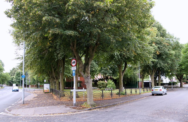
Image: © David Hallam-Jones Taken: 13 Sep 2013
A triangular public garden at the junction of the A60 road, a.k.a. Nottingham Road (on the left) and Alexandra Avenue. The town centre is situated 10-15 minutes walk away, behind the photographer, Nottingham city centre lies 30-40 minutes ahead, southwards, by car.
Images are licensed for reuse under creativecommons.org/licenses/by-sa/2.0
Image Location
Latitude
53.132744
Longitude
-1.197487