Manor Farm, Low Toynton, from the Fulletby Road
Introduction
The photograph on this page of Manor Farm, Low Toynton, from the Fulletby Road by Chris as part of the Geograph project.
The Geograph project started in 2005 with the aim of publishing, organising and preserving representative images for every square kilometre of Great Britain, Ireland and the Isle of Man.

There are currently over 7.5m images from over 14,400 individuals and you can help contribute to the project by visiting https://www.geograph.org.uk
Manor Farm, Low Toynton, from the Fulletby Road
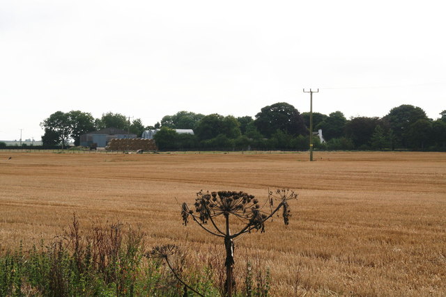
Image: © Chris Taken: 13 Sep 2013
The giant hogweed rather steals the show...
Images are licensed for reuse under creativecommons.org/licenses/by-sa/2.0
Image Location
Latitude
53.217072
Longitude
-0.091669