Valley Bottom Pasture
Introduction
The photograph on this page of Valley Bottom Pasture by Tony Atkin as part of the Geograph project.
The Geograph project started in 2005 with the aim of publishing, organising and preserving representative images for every square kilometre of Great Britain, Ireland and the Isle of Man.

There are currently over 7.5m images from over 14,400 individuals and you can help contribute to the project by visiting https://www.geograph.org.uk
Valley Bottom Pasture
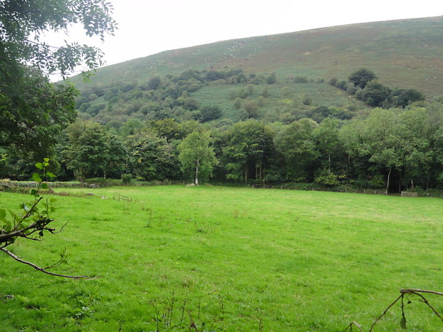
Image: © Tony Atkin Taken: 21 Aug 2012
This pasture land is being used to graze horses (although there are none in the photo). It seems to be the trend these day, first they want a house in the country, then they want a horse.
Images are licensed for reuse under creativecommons.org/licenses/by-sa/2.0
Image Location
Latitude
50.592298
Longitude
-3.806325