Harcourt Terrace, Pembroke
Introduction
The photograph on this page of Harcourt Terrace, Pembroke by Jaggery as part of the Geograph project.
The Geograph project started in 2005 with the aim of publishing, organising and preserving representative images for every square kilometre of Great Britain, Ireland and the Isle of Man.

There are currently over 7.5m images from over 14,400 individuals and you can help contribute to the project by visiting https://www.geograph.org.uk
Harcourt Terrace, Pembroke
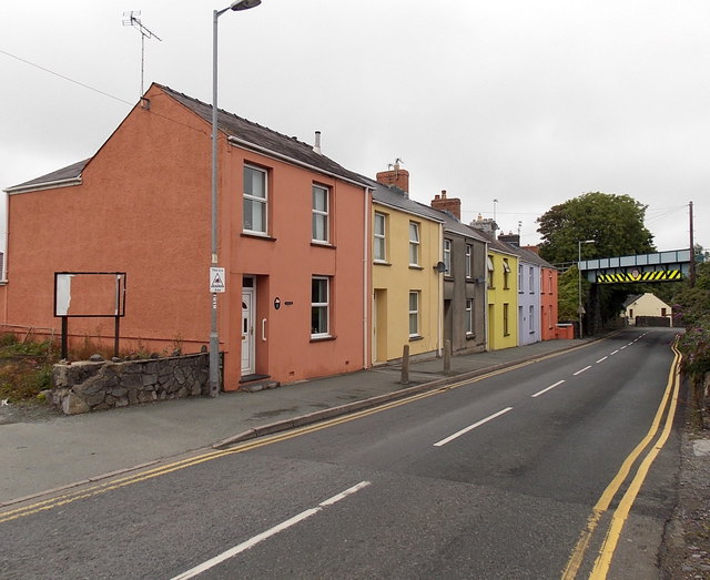
Image: © Jaggery Taken: 12 Sep 2013
Harcourt Terrace is a separately-named row of houses alongside the A4075 Holyland Road. The bridge http://www.geograph.org.uk/photo/3650907 carries the single-track Pembroke Dock branch of the West Wales Line, about 100 metres NW of Pembroke railway station.
Images are licensed for reuse under creativecommons.org/licenses/by-sa/2.0
Image Location
Latitude
51.674603
Longitude
-4.90801