St Thomas's R.C. School & Presbytery
Introduction
The photograph on this page of St Thomas's R.C. School & Presbytery by mfjordan as part of the Geograph project.
The Geograph project started in 2005 with the aim of publishing, organising and preserving representative images for every square kilometre of Great Britain, Ireland and the Isle of Man.

There are currently over 7.5m images from over 14,400 individuals and you can help contribute to the project by visiting https://www.geograph.org.uk
St Thomas's R.C. School & Presbytery
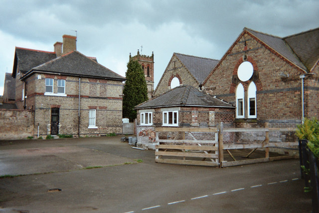
Image: © mfjordan Taken: 7 May 2005
In Moorland Road, Old Goole. Old Goole is the smaller & southern part of Goole, separated from the main part of the town by the Kottingley-Goole Canal, which joins the River Ouse south of Goole Docks. Belltower of St Thomas's Roman Catholic church (see other photo...) just visible behind the school.
Images are licensed for reuse under creativecommons.org/licenses/by-sa/2.0
Image Location


Leaflet Map data © OpenStreetMap
Latitude
53.691815
Longitude
-0.870232