The playground in Seears Park
Introduction
The photograph on this page of The playground in Seears Park by Marathon as part of the Geograph project.
The Geograph project started in 2005 with the aim of publishing, organising and preserving representative images for every square kilometre of Great Britain, Ireland and the Isle of Man.

There are currently over 7.5m images from over 14,400 individuals and you can help contribute to the project by visiting https://www.geograph.org.uk
The playground in Seears Park
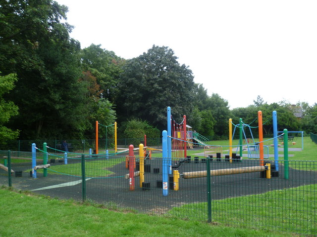
Image: © Marathon Taken: 11 Sep 2013
Seears Park is the formal area to the south of the woods of Perretts Field. The interest of the park is somewhat limited, apart from the fact it has a playground and a view of the woods, the entrance to the woods being seen behind the playground
Images are licensed for reuse under creativecommons.org/licenses/by-sa/2.0
Image Location
Latitude
51.361791
Longitude
-0.213017