Mayfield
Introduction
The photograph on this page of Mayfield by Richard Webb as part of the Geograph project.
The Geograph project started in 2005 with the aim of publishing, organising and preserving representative images for every square kilometre of Great Britain, Ireland and the Isle of Man.

There are currently over 7.5m images from over 14,400 individuals and you can help contribute to the project by visiting https://www.geograph.org.uk
Mayfield
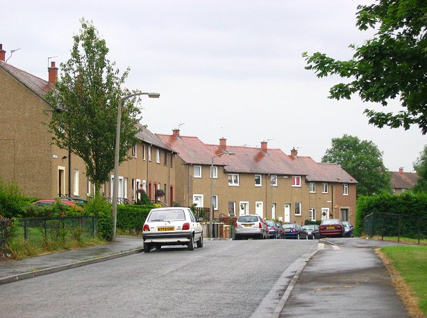
Image: © Richard Webb Taken: 11 Aug 2005
Houses in this large 1950's housing estate built to house miners. Now an Edinburgh dormitory. The scheme is built on a hillside and is quite high up.
Images are licensed for reuse under creativecommons.org/licenses/by-sa/2.0
Image Location
Latitude
55.872003
Longitude
-3.035542