Building plot, Lightridge Road, Fixby
Introduction
The photograph on this page of Building plot, Lightridge Road, Fixby by Humphrey Bolton as part of the Geograph project.
The Geograph project started in 2005 with the aim of publishing, organising and preserving representative images for every square kilometre of Great Britain, Ireland and the Isle of Man.

There are currently over 7.5m images from over 14,400 individuals and you can help contribute to the project by visiting https://www.geograph.org.uk
Building plot, Lightridge Road, Fixby
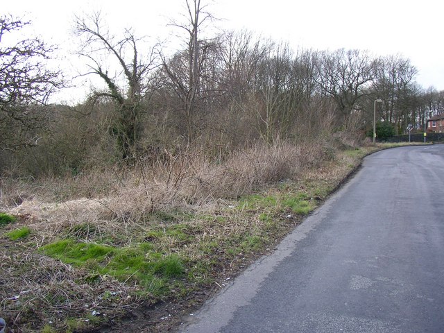
Image: © Humphrey Bolton Taken: 8 Mar 2007
This has been a triangle of waste land, between Lightridge Road and Cowcliffe Road, for many years, but now there is a planning notice for a block of four flats.
Images are licensed for reuse under creativecommons.org/licenses/by-sa/2.0
Image Location


Leaflet Map data © OpenStreetMap
Latitude
53.674488
Longitude
-1.791067