Castle Combe - School Lane
Introduction
The photograph on this page of Castle Combe - School Lane by Rob Farrow as part of the Geograph project.
The Geograph project started in 2005 with the aim of publishing, organising and preserving representative images for every square kilometre of Great Britain, Ireland and the Isle of Man.

There are currently over 7.5m images from over 14,400 individuals and you can help contribute to the project by visiting https://www.geograph.org.uk
Castle Combe - School Lane
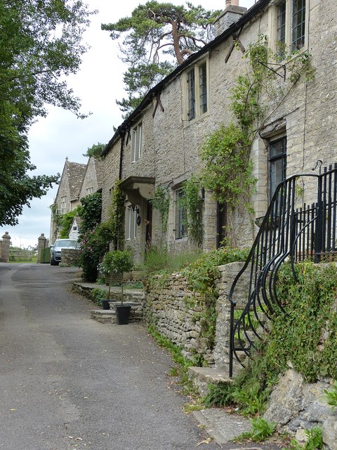
Image: © Rob Farrow Taken: 8 Sep 2013
School Lane is somewhat distant from the main village of Castle Combe, almost being in Upper Castle Combe. There are two listed buildings in this short lane: No. 2 School Lane http://list.english-heritage.org.uk/resultsingle.aspx?uid=1199176&searchtype=mapsearch and The Primary School http://list.english-heritage.org.uk/resultsingle.aspx?uid=1363550&searchtype=mapsearch
Images are licensed for reuse under creativecommons.org/licenses/by-sa/2.0
Image Location
Latitude
51.496223
Longitude
-2.225821