Mayfield
Introduction
The photograph on this page of Mayfield by Richard Webb as part of the Geograph project.
The Geograph project started in 2005 with the aim of publishing, organising and preserving representative images for every square kilometre of Great Britain, Ireland and the Isle of Man.

There are currently over 7.5m images from over 14,400 individuals and you can help contribute to the project by visiting https://www.geograph.org.uk
Mayfield
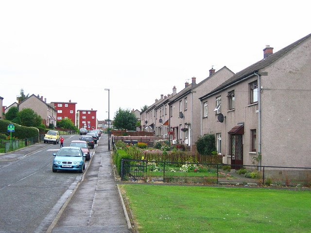
Image: © Richard Webb Taken: 11 Aug 2005
Part of a large 1950s housing development next to the older Newtongrange. It was built to house miners, often from closed mines elsewhere, when the local pits were developed.
Images are licensed for reuse under creativecommons.org/licenses/by-sa/2.0
Image Location
Latitude
55.870138
Longitude
-3.043483