Alton West Estate, Danebury Avenue
Introduction
The photograph on this page of Alton West Estate, Danebury Avenue by Stephen Richards as part of the Geograph project.
The Geograph project started in 2005 with the aim of publishing, organising and preserving representative images for every square kilometre of Great Britain, Ireland and the Isle of Man.

There are currently over 7.5m images from over 14,400 individuals and you can help contribute to the project by visiting https://www.geograph.org.uk
Alton West Estate, Danebury Avenue
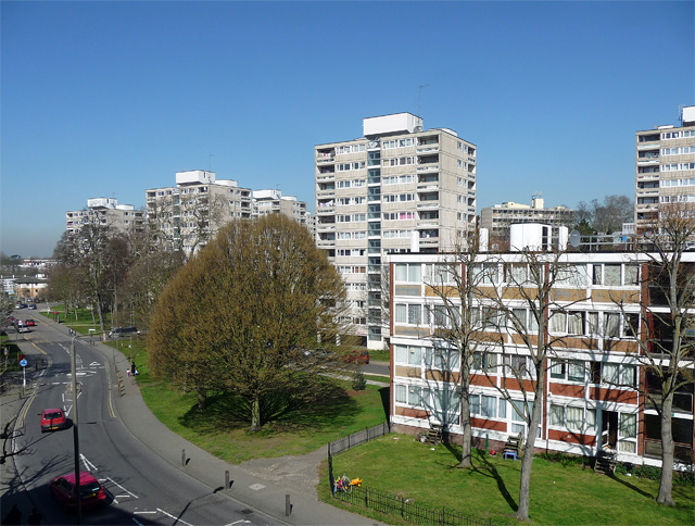
Image: © Stephen Richards Taken: 26 Mar 2012
One of the most highly regarded post-war housing estates, chiefly due to the variation in building types, landscaping and the generous allowance made for green space. The London County Council began planning in 1951 (chief architect Robert Matthew). Alton East came first, Alton West from 1954. Seen here is a group of point blocks and, nearest to the camera, one of the lower maisonette blocks. Highly regarded by architectural commentators at least - the views of residents are less certain.
Images are licensed for reuse under creativecommons.org/licenses/by-sa/2.0
Image Location
Latitude
51.450409
Longitude
-0.245539