Beverley Crescent, c.1950
Introduction
The photograph on this page of Beverley Crescent, c.1950 by Celia Chinn as part of the Geograph project.
The Geograph project started in 2005 with the aim of publishing, organising and preserving representative images for every square kilometre of Great Britain, Ireland and the Isle of Man.

There are currently over 7.5m images from over 14,400 individuals and you can help contribute to the project by visiting https://www.geograph.org.uk
Beverley Crescent, c.1950
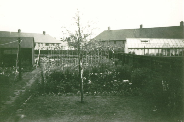
Image: © Celia Chinn Taken: Unknown
Looking down the garden of No.16 towards the junction of Danefield Road and Birchfield Road East. The garden is mostly down to vegetables.
Images are licensed for reuse under creativecommons.org/licenses/by-sa/2.0
Image Location
Latitude
52.254436
Longitude
-0.859049