Smestow Brook
Introduction
The photograph on this page of Smestow Brook by John M as part of the Geograph project.
The Geograph project started in 2005 with the aim of publishing, organising and preserving representative images for every square kilometre of Great Britain, Ireland and the Isle of Man.

There are currently over 7.5m images from over 14,400 individuals and you can help contribute to the project by visiting https://www.geograph.org.uk
Smestow Brook
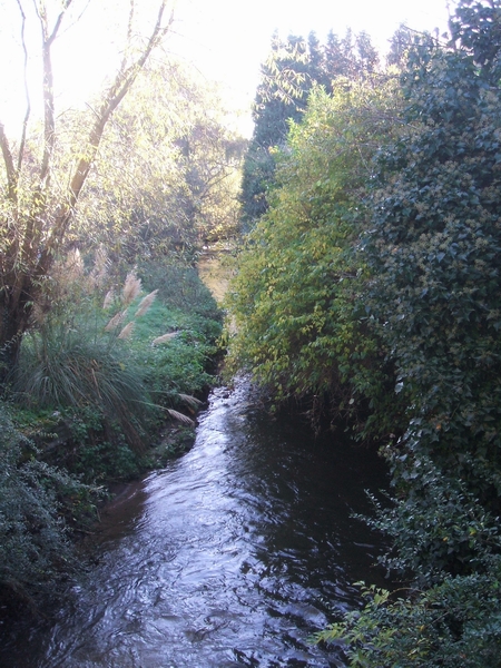
Image: © John M Taken: 26 Nov 2006
The Smestow Brook flows South through Seisdon village. The old mill is just upstream from here.
Images are licensed for reuse under creativecommons.org/licenses/by-sa/2.0
Image Location
Latitude
52.550358
Longitude
-2.236951