The line to Bicester Town
Introduction
The photograph on this page of The line to Bicester Town by Steve Daniels as part of the Geograph project.
The Geograph project started in 2005 with the aim of publishing, organising and preserving representative images for every square kilometre of Great Britain, Ireland and the Isle of Man.

There are currently over 7.5m images from over 14,400 individuals and you can help contribute to the project by visiting https://www.geograph.org.uk
The line to Bicester Town
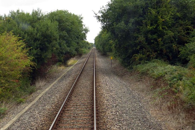
Image: © Steve Daniels Taken: 10 Sep 2013
The line currently runs between Oxford North Junction and Claydon Junction. Work is starting soon to twin line the track and connect to the Chiltern line into Marylebone.
Images are licensed for reuse under creativecommons.org/licenses/by-sa/2.0
Image Location
Latitude
51.884461
Longitude
-1.158588