Farmland, Rangeworthy, Bristol
Introduction
The photograph on this page of Farmland, Rangeworthy, Bristol by Brian Robert Marshall as part of the Geograph project.
The Geograph project started in 2005 with the aim of publishing, organising and preserving representative images for every square kilometre of Great Britain, Ireland and the Isle of Man.

There are currently over 7.5m images from over 14,400 individuals and you can help contribute to the project by visiting https://www.geograph.org.uk
Farmland, Rangeworthy, Bristol
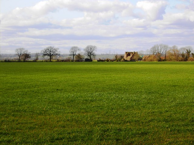
Image: © Brian Robert Marshall Taken: 13 Mar 2007
The farm buildings to the right of centre are part of Mudgedown Farm in the next square north at ST684851.
Images are licensed for reuse under creativecommons.org/licenses/by-sa/2.0
Image Location
Latitude
51.562086
Longitude
-2.45725