A40 passing Pencraig
Introduction
The photograph on this page of A40 passing Pencraig by Julian P Guffogg as part of the Geograph project.
The Geograph project started in 2005 with the aim of publishing, organising and preserving representative images for every square kilometre of Great Britain, Ireland and the Isle of Man.

There are currently over 7.5m images from over 14,400 individuals and you can help contribute to the project by visiting https://www.geograph.org.uk
A40 passing Pencraig
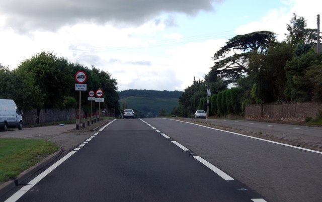
Image: © Julian P Guffogg Taken: 9 Aug 2013
The road heads downhill a little after this. This stretch is near the River Wye, which is just to the left.
Images are licensed for reuse under creativecommons.org/licenses/by-sa/2.0
Image Location


Leaflet Map data © OpenStreetMap
Latitude
51.883065
Longitude
-2.633099