Swain Road from Treetops Court
Introduction
The photograph on this page of Swain Road from Treetops Court by Christopher Hilton as part of the Geograph project.
The Geograph project started in 2005 with the aim of publishing, organising and preserving representative images for every square kilometre of Great Britain, Ireland and the Isle of Man.

There are currently over 7.5m images from over 14,400 individuals and you can help contribute to the project by visiting https://www.geograph.org.uk
Swain Road from Treetops Court
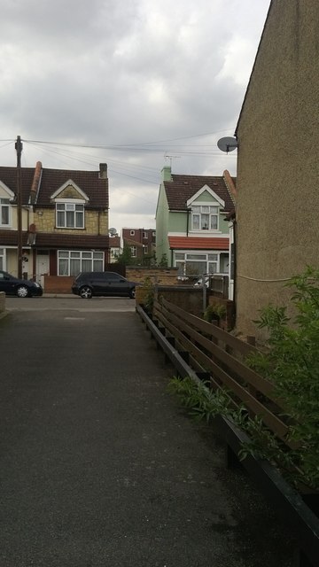
Image: © Christopher Hilton Taken: 10 Sep 2013
Treetops Court is a small development off Swain Road, shoehorned in between buildings: the line of the Norbury Brook allows a route in, between the houses of Swain Road, and access to the houses from the car park is over little footbridges. The brook lies behind and below the fence to the right, and flows on between the two houses on the far side of the road. For the view looking towards this point, see Image
Images are licensed for reuse under creativecommons.org/licenses/by-sa/2.0
Image Location


Leaflet Map data © OpenStreetMap
Latitude
51.395056
Longitude
-0.098304