Wraysbury reservoir
Introduction
The photograph on this page of Wraysbury reservoir by Alan Hunt as part of the Geograph project.
The Geograph project started in 2005 with the aim of publishing, organising and preserving representative images for every square kilometre of Great Britain, Ireland and the Isle of Man.

There are currently over 7.5m images from over 14,400 individuals and you can help contribute to the project by visiting https://www.geograph.org.uk
Wraysbury reservoir
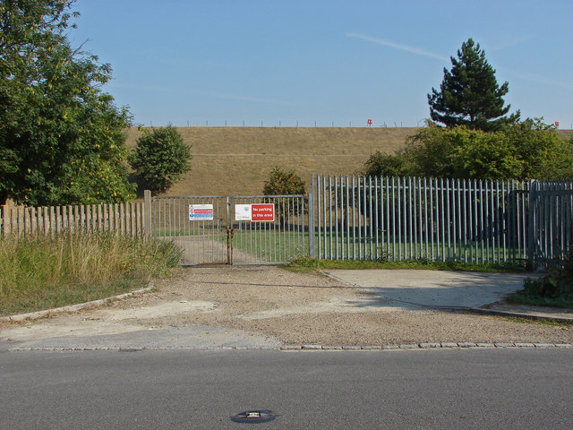
Image: © Alan Hunt Taken: 5 Sep 2013
The gates into the plant area on Coppermill Road with the banking behind. This reservoir was created in the 1960s.
Images are licensed for reuse under creativecommons.org/licenses/by-sa/2.0
Image Location
Latitude
51.464964
Longitude
-0.532621