Sneinton Hermitage
Introduction
The photograph on this page of Sneinton Hermitage by John Sutton as part of the Geograph project.
The Geograph project started in 2005 with the aim of publishing, organising and preserving representative images for every square kilometre of Great Britain, Ireland and the Isle of Man.

There are currently over 7.5m images from over 14,400 individuals and you can help contribute to the project by visiting https://www.geograph.org.uk
Sneinton Hermitage
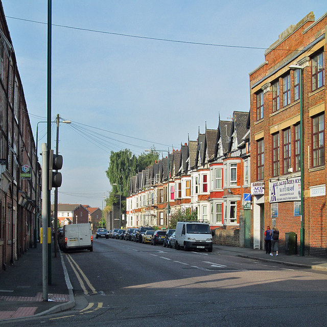
Image: © John Sutton Taken: 4 Sep 2013
A view towards the city from the corner of Meadow Lane. Years ago this was a trolleybus route, and the vista was closed by the huge railway bridge which carried the tracks to Manvers Street Goods Depot - its blue-brick abutment shows to the left of the row of houses on the right. The construction of that piece of railway destroyed the sandstone caves of Sneinton Hermitage which gave this road its name.
Images are licensed for reuse under creativecommons.org/licenses/by-sa/2.0
Image Location


Leaflet Map data © OpenStreetMap
Latitude
52.949063
Longitude
-1.12945