Weir on the River Clyde
Introduction
The photograph on this page of Weir on the River Clyde by Alan Reid as part of the Geograph project.
The Geograph project started in 2005 with the aim of publishing, organising and preserving representative images for every square kilometre of Great Britain, Ireland and the Isle of Man.

There are currently over 7.5m images from over 14,400 individuals and you can help contribute to the project by visiting https://www.geograph.org.uk
Weir on the River Clyde
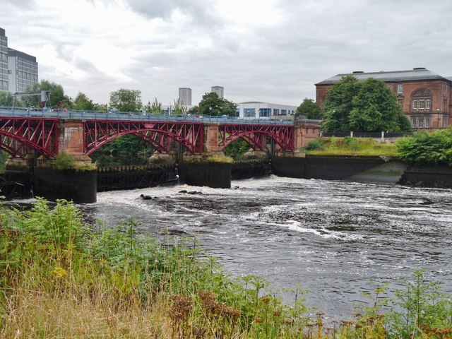
Image: © Alan Reid Taken: 9 Sep 2013
This forms the effective upper limit of navigation. High Spring Tides do run beyond this point.
Images are licensed for reuse under creativecommons.org/licenses/by-sa/2.0
Image Location
Latitude
55.851905
Longitude
-4.246068