Solway shore east of Powfoot
Introduction
The photograph on this page of Solway shore east of Powfoot by Oliver Dixon as part of the Geograph project.
The Geograph project started in 2005 with the aim of publishing, organising and preserving representative images for every square kilometre of Great Britain, Ireland and the Isle of Man.

There are currently over 7.5m images from over 14,400 individuals and you can help contribute to the project by visiting https://www.geograph.org.uk
Solway shore east of Powfoot
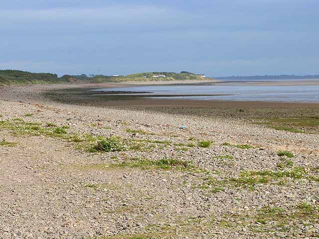
Image: © Oliver Dixon Taken: 2 Sep 2013
The houses are located on the low headland to the west of the mouth of the River Annan.
Images are licensed for reuse under creativecommons.org/licenses/by-sa/2.0
Image Location
Latitude
54.977035
Longitude
-3.318928