Dividing Wall
Introduction
The photograph on this page of Dividing Wall by Mick Garratt as part of the Geograph project.
The Geograph project started in 2005 with the aim of publishing, organising and preserving representative images for every square kilometre of Great Britain, Ireland and the Isle of Man.

There are currently over 7.5m images from over 14,400 individuals and you can help contribute to the project by visiting https://www.geograph.org.uk
Dividing Wall
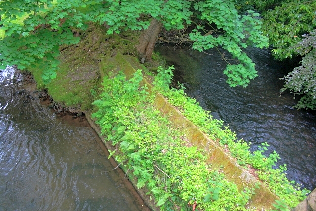
Image: © Mick Garratt Taken: 29 Jun 2013
Between the River Wye, on the left, and the race for the mill, on the right. The wall prevents the two water courses from mixing until after the bridge. See Image
Images are licensed for reuse under creativecommons.org/licenses/by-sa/2.0
Image Location
Latitude
53.187507
Longitude
-1.617147