Farmland to the south of Cholstrey
Introduction
The photograph on this page of Farmland to the south of Cholstrey by Philip Halling as part of the Geograph project.
The Geograph project started in 2005 with the aim of publishing, organising and preserving representative images for every square kilometre of Great Britain, Ireland and the Isle of Man.

There are currently over 7.5m images from over 14,400 individuals and you can help contribute to the project by visiting https://www.geograph.org.uk
Farmland to the south of Cholstrey
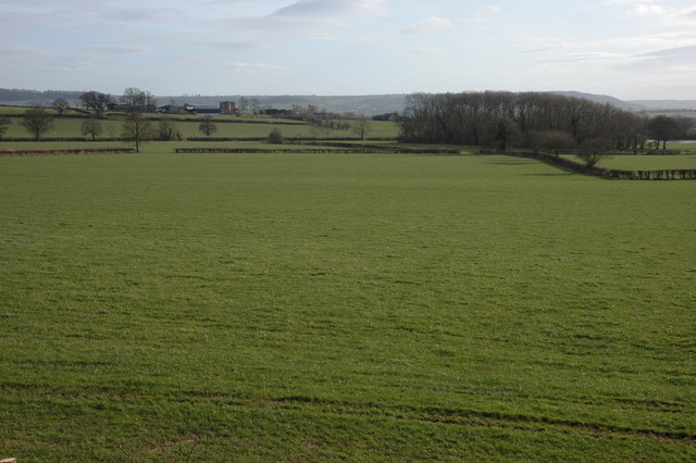
Image: © Philip Halling Taken: 10 Mar 2007
Stagbatch House can be seen on the rising ground in the middle distance.
Images are licensed for reuse under creativecommons.org/licenses/by-sa/2.0
Image Location


Leaflet Map data © OpenStreetMap
Latitude
52.22712
Longitude
-2.786145