Godolphin Playing Fields
Introduction
The photograph on this page of Godolphin Playing Fields by Des Blenkinsopp as part of the Geograph project.
The Geograph project started in 2005 with the aim of publishing, organising and preserving representative images for every square kilometre of Great Britain, Ireland and the Isle of Man.

There are currently over 7.5m images from over 14,400 individuals and you can help contribute to the project by visiting https://www.geograph.org.uk
Godolphin Playing Fields
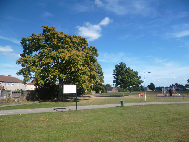
Image: © Des Blenkinsopp Taken: 2 Sep 2013
The northern boundary of a large tract of park and playing fields surrounded by suburban housing. The unusual name comes from Dr. Henry Godolphin, 1648 - 1733, who was provost of Eton College and Dean of St Paul's Cathedral. He lived in Baylis House just south of here, the grounds of which are now part of this park.
Images are licensed for reuse under creativecommons.org/licenses/by-sa/2.0
Image Location
Latitude
51.520824
Longitude
-0.60794