The corner of First Avenue and Sherwood Rise
Introduction
The photograph on this page of The corner of First Avenue and Sherwood Rise by John Sutton as part of the Geograph project.
The Geograph project started in 2005 with the aim of publishing, organising and preserving representative images for every square kilometre of Great Britain, Ireland and the Isle of Man.

There are currently over 7.5m images from over 14,400 individuals and you can help contribute to the project by visiting https://www.geograph.org.uk
The corner of First Avenue and Sherwood Rise
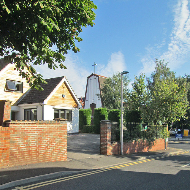
Image: © John Sutton Taken: 5 Sep 2013
First, Second and Third Avenues were some of the first suburban developments north of The Forest, with some substantial houses dating from c 1850-70, the period of the Borough's initial expansion after the Enclosure Act of 1845. The striking west front of the Polish Church of Our Lady of Czestochow is on the other side of Sherwood Rise.
Images are licensed for reuse under creativecommons.org/licenses/by-sa/2.0
Image Location
Latitude
52.968946
Longitude
-1.156746