Minor road reaching Wind Mill
Introduction
The photograph on this page of Minor road reaching Wind Mill by Trevor Littlewood as part of the Geograph project.
The Geograph project started in 2005 with the aim of publishing, organising and preserving representative images for every square kilometre of Great Britain, Ireland and the Isle of Man.

There are currently over 7.5m images from over 14,400 individuals and you can help contribute to the project by visiting https://www.geograph.org.uk
Minor road reaching Wind Mill
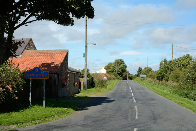
Image: © Trevor Littlewood Taken: 2 Sep 2013
Wind Mill is a tiny settlement in County Durham; the road seen here enters heading north from Nettlebed Lane. The yellow and Blue road sign is a common sight in the county.
Images are licensed for reuse under creativecommons.org/licenses/by-sa/2.0
Image Location
Latitude
54.645757
Longitude
-1.789687