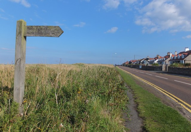
Footpath to North Sunderland
Introduction
The photograph on this page of Footpath to North Sunderland by Barbara Carr as part of the Geograph project.
The Geograph project started in 2005 with the aim of publishing, organising and preserving representative images for every square kilometre of Great Britain, Ireland and the Isle of Man.
There are currently over 7.5m images from over 14,400 individuals and you can help contribute to the project by visiting https://www.geograph.org.uk

Image: © Barbara Carr Taken: 7 Sep 2013
This footpath goes along a narrow lane between two houses to the southwestern end of the main shopping street of Seahouses, in the North Sunderland district. Originally the little town was known as North Sunderland, and 'North Sunderland Seahouses' unsurprisingly denoted the fishermen's housing area near the sea - as time has passed, the Seahouses name has become dominant.

