Buriton High Street
Introduction
The photograph on this page of Buriton High Street by Trevor Harris as part of the Geograph project.
The Geograph project started in 2005 with the aim of publishing, organising and preserving representative images for every square kilometre of Great Britain, Ireland and the Isle of Man.

There are currently over 7.5m images from over 14,400 individuals and you can help contribute to the project by visiting https://www.geograph.org.uk
Buriton High Street
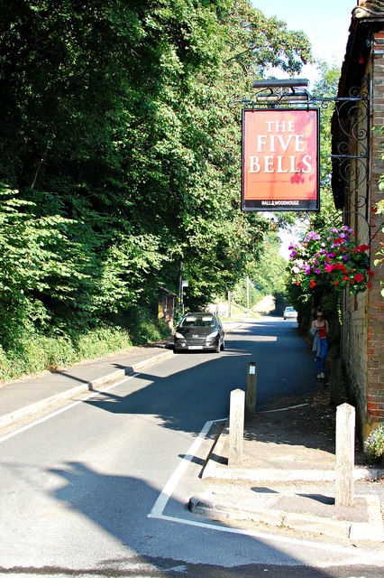
Image: © Trevor Harris Taken: 5 Sep 2013
Outside the Five Bells, which was open early enough to provide very welcome coffee before our 12 miles on the South Downs Way.
Images are licensed for reuse under creativecommons.org/licenses/by-sa/2.0
Image Location


Leaflet Map data © OpenStreetMap
Latitude
50.976582
Longitude
-0.950184