B4349 junction in Kingstone
Introduction
The photograph on this page of B4349 junction in Kingstone by Jaggery as part of the Geograph project.
The Geograph project started in 2005 with the aim of publishing, organising and preserving representative images for every square kilometre of Great Britain, Ireland and the Isle of Man.

There are currently over 7.5m images from over 14,400 individuals and you can help contribute to the project by visiting https://www.geograph.org.uk
B4349 junction in Kingstone
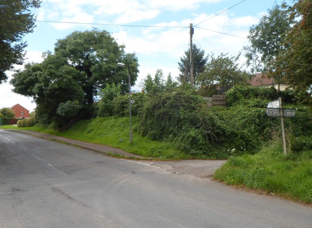
Image: © Jaggery Taken: 26 Aug 2012
Just out of shot, the unclassified road NE from the B4348 through Kingstone reaches the B4349. Left (west) along the B4349 for Peterchurch and Ross-on-Wye, right for Clehonger and Hereford.
Images are licensed for reuse under creativecommons.org/licenses/by-sa/2.0
Image Location
Latitude
52.023672
Longitude
-2.836642