Cerrig yr Wyn
Introduction
The photograph on this page of Cerrig yr Wyn by Nigel Callaghan as part of the Geograph project.
The Geograph project started in 2005 with the aim of publishing, organising and preserving representative images for every square kilometre of Great Britain, Ireland and the Isle of Man.

There are currently over 7.5m images from over 14,400 individuals and you can help contribute to the project by visiting https://www.geograph.org.uk
Cerrig yr Wyn
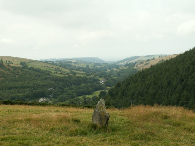
Image: © Nigel Callaghan Taken: 11 Aug 2005
One of the two standing stones called Cerrig yr Wyn, looking West up the valley of Nant Silo and Clarach to Clarach bay on the coast in the distance (the obvious headland is the S shore of the bay, about 10km away)
Images are licensed for reuse under creativecommons.org/licenses/by-sa/2.0
Image Location


Leaflet Map data © OpenStreetMap
Latitude
52.434959
Longitude
-3.935766