School Lane, Chellaston
Introduction
The photograph on this page of School Lane, Chellaston by Alan Murray-Rust as part of the Geograph project.
The Geograph project started in 2005 with the aim of publishing, organising and preserving representative images for every square kilometre of Great Britain, Ireland and the Isle of Man.

There are currently over 7.5m images from over 14,400 individuals and you can help contribute to the project by visiting https://www.geograph.org.uk
School Lane, Chellaston
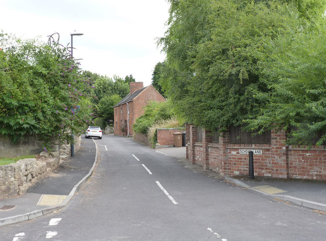
Image: © Alan Murray-Rust Taken: 14 Aug 2013
Part of the original village before it became absorbed into suburban Derby.
Images are licensed for reuse under creativecommons.org/licenses/by-sa/2.0
Image Location
Latitude
52.870181
Longitude
-1.434839