Low bridge, Gas Road, Sittingbourne
Introduction
The photograph on this page of Low bridge, Gas Road, Sittingbourne by Malc McDonald as part of the Geograph project.
The Geograph project started in 2005 with the aim of publishing, organising and preserving representative images for every square kilometre of Great Britain, Ireland and the Isle of Man.

There are currently over 7.5m images from over 14,400 individuals and you can help contribute to the project by visiting https://www.geograph.org.uk
Low bridge, Gas Road, Sittingbourne
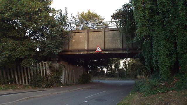
Image: © Malc McDonald Taken: 7 Sep 2013
This bridge carries the Sittingbourne & Kemsley Light Railway across Gas Road. The warning sign gives the maximum safe height of 10'9" for passing beneath the bridge.
Images are licensed for reuse under creativecommons.org/licenses/by-sa/2.0
Image Location
Latitude
51.348311
Longitude
0.73644