The site of Vasmire
Introduction
The photograph on this page of The site of Vasmire by Bill Boaden as part of the Geograph project.
The Geograph project started in 2005 with the aim of publishing, organising and preserving representative images for every square kilometre of Great Britain, Ireland and the Isle of Man.

There are currently over 7.5m images from over 14,400 individuals and you can help contribute to the project by visiting https://www.geograph.org.uk
The site of Vasmire
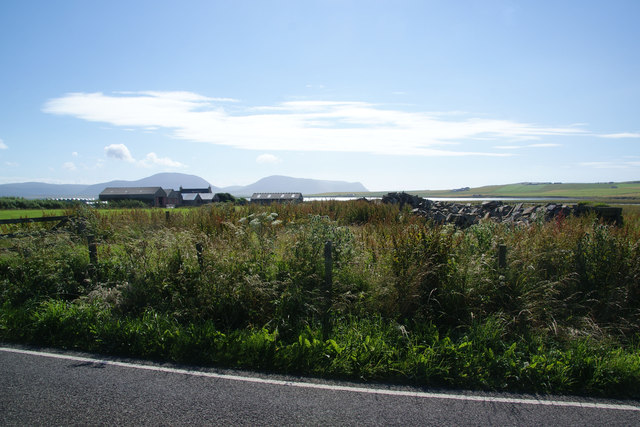
Image: © Bill Boaden Taken: 30 Jul 2013
A farm which hasn't survived. Cumminess is behind, and that is now a large farm relatively. Hoy forms the backdrop.
Images are licensed for reuse under creativecommons.org/licenses/by-sa/2.0
Image Location
Latitude
58.976944
Longitude
-3.242466