Field at the edge of Broad Street
Introduction
The photograph on this page of Field at the edge of Broad Street by Marathon as part of the Geograph project.
The Geograph project started in 2005 with the aim of publishing, organising and preserving representative images for every square kilometre of Great Britain, Ireland and the Isle of Man.

There are currently over 7.5m images from over 14,400 individuals and you can help contribute to the project by visiting https://www.geograph.org.uk
Field at the edge of Broad Street
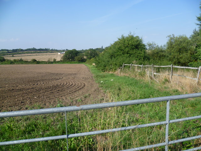
Image: © Marathon Taken: 5 Sep 2013
Hoo St Werburgh is one of the largest villages on the Hoo Peninsula and has far outgrown its original village centre. This is the view from Main Road which is at the western entrance to Hoo St Werburgh at a group of houses called Broad Street. The buildings are continuous from here to the middle of the village. Broad Street was undoubtedly once an outlying hamlet. The main A228 which is the spine road across the peninsula runs just this side of the trees on the horizon, to the left of the distant farm.
Images are licensed for reuse under creativecommons.org/licenses/by-sa/2.0
Image Location
Latitude
51.420544
Longitude
0.540234