Recreation ground at Hoo St Werburgh
Introduction
The photograph on this page of Recreation ground at Hoo St Werburgh by Marathon as part of the Geograph project.
The Geograph project started in 2005 with the aim of publishing, organising and preserving representative images for every square kilometre of Great Britain, Ireland and the Isle of Man.

There are currently over 7.5m images from over 14,400 individuals and you can help contribute to the project by visiting https://www.geograph.org.uk
Recreation ground at Hoo St Werburgh
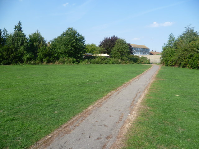
Image: © Marathon Taken: 5 Sep 2013
Hoo St Werburgh is one of the largest villages on the Hoo Peninsula and has far outgrown its original village centre. This is the recreation ground which seems to be the main park. The exit ahead is to Trubridge Road.
Images are licensed for reuse under creativecommons.org/licenses/by-sa/2.0
Image Location
Latitude
51.422241
Longitude
0.557302