Holy Trinity cross
Introduction
The photograph on this page of Holy Trinity cross by Neil Owen as part of the Geograph project.
The Geograph project started in 2005 with the aim of publishing, organising and preserving representative images for every square kilometre of Great Britain, Ireland and the Isle of Man.

There are currently over 7.5m images from over 14,400 individuals and you can help contribute to the project by visiting https://www.geograph.org.uk
Holy Trinity cross
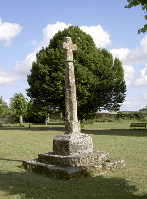
Image: © Neil Owen Taken: 25 Jul 2013
The slightly uneven cross in the churchyard of the former church in Bimport is mediaeval, although the cross on top is a later work.
Images are licensed for reuse under creativecommons.org/licenses/by-sa/2.0
Image Location
Latitude
51.005676
Longitude
-2.199199