Orange Way after Wiltshire (471)
Introduction
The photograph on this page of Orange Way after Wiltshire (471) by Shazz as part of the Geograph project.
The Geograph project started in 2005 with the aim of publishing, organising and preserving representative images for every square kilometre of Great Britain, Ireland and the Isle of Man.

There are currently over 7.5m images from over 14,400 individuals and you can help contribute to the project by visiting https://www.geograph.org.uk
Orange Way after Wiltshire (471)
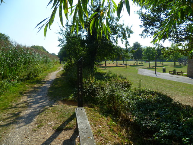
Image: © Shazz Taken: 4 Sep 2013
The Orange Way keeps to the towpath. The boundary between Slough and Buckinghamshire is reached at the end of the housing on the right. The recreation ground beyond that is in Bucks.
Images are licensed for reuse under creativecommons.org/licenses/by-sa/2.0
Image Location
Latitude
51.511179
Longitude
-0.568605