Cycleway
Introduction
The photograph on this page of Cycleway by Anne Burgess as part of the Geograph project.
The Geograph project started in 2005 with the aim of publishing, organising and preserving representative images for every square kilometre of Great Britain, Ireland and the Isle of Man.

There are currently over 7.5m images from over 14,400 individuals and you can help contribute to the project by visiting https://www.geograph.org.uk
Cycleway
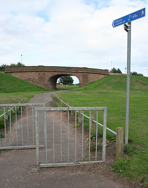
Image: © Anne Burgess Taken: 27 Aug 2013
This forms part of national cycle route No 1, and uses the trackbed of the Montrose Branch of the London and North Eastern Railway.
Images are licensed for reuse under creativecommons.org/licenses/by-sa/2.0
Image Location
Latitude
56.708903
Longitude
-2.456345