Show houses, Mon Bank, Newport
Introduction
The photograph on this page of Show houses, Mon Bank, Newport by Robin Drayton as part of the Geograph project.
The Geograph project started in 2005 with the aim of publishing, organising and preserving representative images for every square kilometre of Great Britain, Ireland and the Isle of Man.

There are currently over 7.5m images from over 14,400 individuals and you can help contribute to the project by visiting https://www.geograph.org.uk
Show houses, Mon Bank, Newport
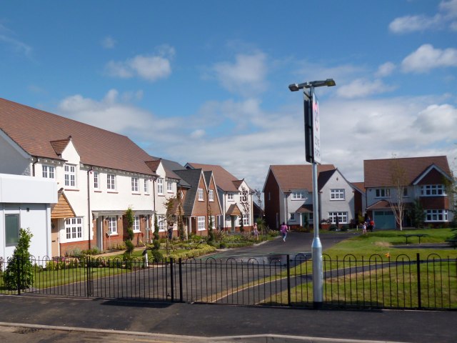
Image: © Robin Drayton Taken: 2 Sep 2013
These houses are the first of a new large development on an area of former railway land that was previously known as Monmouthshire Bank.
Images are licensed for reuse under creativecommons.org/licenses/by-sa/2.0
Image Location
Latitude
51.574762
Longitude
-3.005575