River Mole below Royal Mills weir at Esher
Introduction
The photograph on this page of River Mole below Royal Mills weir at Esher by David Leeming as part of the Geograph project.
The Geograph project started in 2005 with the aim of publishing, organising and preserving representative images for every square kilometre of Great Britain, Ireland and the Isle of Man.

There are currently over 7.5m images from over 14,400 individuals and you can help contribute to the project by visiting https://www.geograph.org.uk
River Mole below Royal Mills weir at Esher
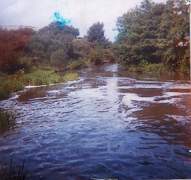
Image: © David Leeming Taken: 7 Jul 1982
Most of the original river's course in this area was bypassed and eventually filled-in after the construction of the dreadful Mole/Ember flood channel in the early 1980s. This short reach of "old river" survived intact except that very much less of the flow of the river now passes over Royal Mills weir. As a result this weirpool has become far more overgrown and more like a lake than a river - current view from the same vantage point is shown here http://www.geograph.org.uk/photo/3672327
Images are licensed for reuse under creativecommons.org/licenses/by-sa/2.0
Image Location
Latitude
51.37981
Longitude
-0.375987