Rover Rea Longbridge
Introduction
The photograph on this page of Rover Rea Longbridge by Roy Hughes as part of the Geograph project.
The Geograph project started in 2005 with the aim of publishing, organising and preserving representative images for every square kilometre of Great Britain, Ireland and the Isle of Man.

There are currently over 7.5m images from over 14,400 individuals and you can help contribute to the project by visiting https://www.geograph.org.uk
Rover Rea Longbridge
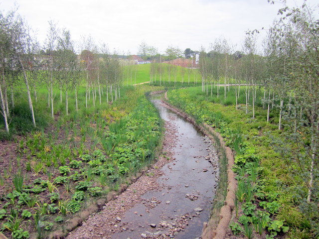
Image: © Roy Hughes Taken: 3 Sep 2013
As part of the redevelopment of the Rover works at Longbridge, the River Rea, which was culverted through a large part of the site, now forms a beautiful feature in the new park.
Images are licensed for reuse under creativecommons.org/licenses/by-sa/2.0
Image Location
Latitude
52.394979
Longitude
-1.986142