Lower Rawlinson Terrace, Tredegar
Introduction
The photograph on this page of Lower Rawlinson Terrace, Tredegar by Jaggery as part of the Geograph project.
The Geograph project started in 2005 with the aim of publishing, organising and preserving representative images for every square kilometre of Great Britain, Ireland and the Isle of Man.

There are currently over 7.5m images from over 14,400 individuals and you can help contribute to the project by visiting https://www.geograph.org.uk
Lower Rawlinson Terrace, Tredegar
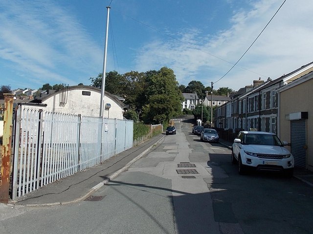
Image: © Jaggery Taken: 5 Sep 2013
Viewed from Glyn Terrace looks towards Poplar Road. Some references name this street Rawlinson Terrace, but the name sign shows Lower Rawlinson Terrace, to distinguish these houses from the row of seven houses in Rawlinson Terrace, a separately-named part of Poplar Road between James Street and Woodfield Road.
Images are licensed for reuse under creativecommons.org/licenses/by-sa/2.0
Image Location
Latitude
51.76605
Longitude
-3.23719