Buncefield Lane, Cupid Green
Introduction
The photograph on this page of Buncefield Lane, Cupid Green by David Howard as part of the Geograph project.
The Geograph project started in 2005 with the aim of publishing, organising and preserving representative images for every square kilometre of Great Britain, Ireland and the Isle of Man.

There are currently over 7.5m images from over 14,400 individuals and you can help contribute to the project by visiting https://www.geograph.org.uk
Buncefield Lane, Cupid Green
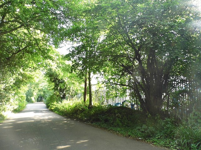
Image: © David Howard Taken: 5 Sep 2013
Running along the side of the oil depot which burnt down in 2006. Despite the rural appearance the depot is behind the railings on the right and an industrial estate behind the trees on the left.
Images are licensed for reuse under creativecommons.org/licenses/by-sa/2.0
Image Location
Latitude
51.76441
Longitude
-0.429319