Entrance to Vale View Allotments, Tredegar
Introduction
The photograph on this page of Entrance to Vale View Allotments, Tredegar by Jaggery as part of the Geograph project.
The Geograph project started in 2005 with the aim of publishing, organising and preserving representative images for every square kilometre of Great Britain, Ireland and the Isle of Man.

There are currently over 7.5m images from over 14,400 individuals and you can help contribute to the project by visiting https://www.geograph.org.uk
Entrance to Vale View Allotments, Tredegar
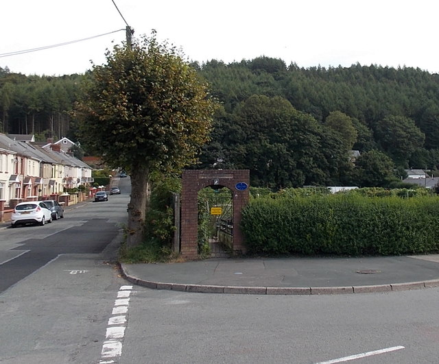
Image: © Jaggery Taken: 5 Sep 2013
The allotments occupy a rectangular site, 100 metres by 50 metres. This is an upland location, about 280 metres (c920 feet) above sea level. At this height, killing frosts are likely to occur later in spring and earlier in autumn than in allotments near sea level in coastal South Wales. Vale View houses http://www.geograph.org.uk/photo/3637788 are on the left.
Images are licensed for reuse under creativecommons.org/licenses/by-sa/2.0
Image Location
Latitude
51.75991
Longitude
-3.231081